
In 1924, pilot J. Victor Dallin, a former member of the Royal Air Force and veteran of the First World War, formed the Dallin Aerial Survey Company. Operating out of the Philadelphia Municipal Airport, his company was one of many during the era searching for business opportunities that utilized the nascent technology of the airplane. Dallin's company took thousands of aerial photographs throughout the Mid-Atlantic region, most in the Philadelphia area.
The images in this online exhibit include a small fraction of the aerial views from the Victor Dallin Aerial Survey Collection at the Hagley Library. The images here have been divided into four subjects: events, industrial sites, towns and cities, and estates. These are just a few of the major subjects covered in the Dallin collection. A current satellite map showing many of the sites featured in the exhibit is available.
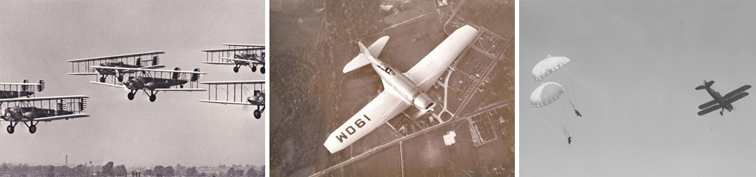
The Dallin collection includes 13,000 glass plate negatives and 23,000 prints of assorted aerial photographs. The Dallin Aerial Survey Company specialized in images of factories, private estates, schools, country clubs, towns, airports, rivers, and many other sites and some news events of the day. The location with the largest number of views is the city of Philadelphia. The majority of the photographs were taken in the Mid-Atlantic area although Dallin did fly offshore to Cuba and made trips to other locales within the United States. In addition to the aerials, there are a handful of street-level views of several Philadelphia-area estates and gardens. Also included in the collection is a small archive of company records with images of company equipment and staff.
Approximately 7,000 images from the Dallin Collection are available online in the Hagley Digital Archives.
For more information about the collection or to purchase images seen in this exhibit, please contact the Hagley Library Pictorial Collections Department at research@hagley.org or 302-658-2400, ext. 276.